It was time.
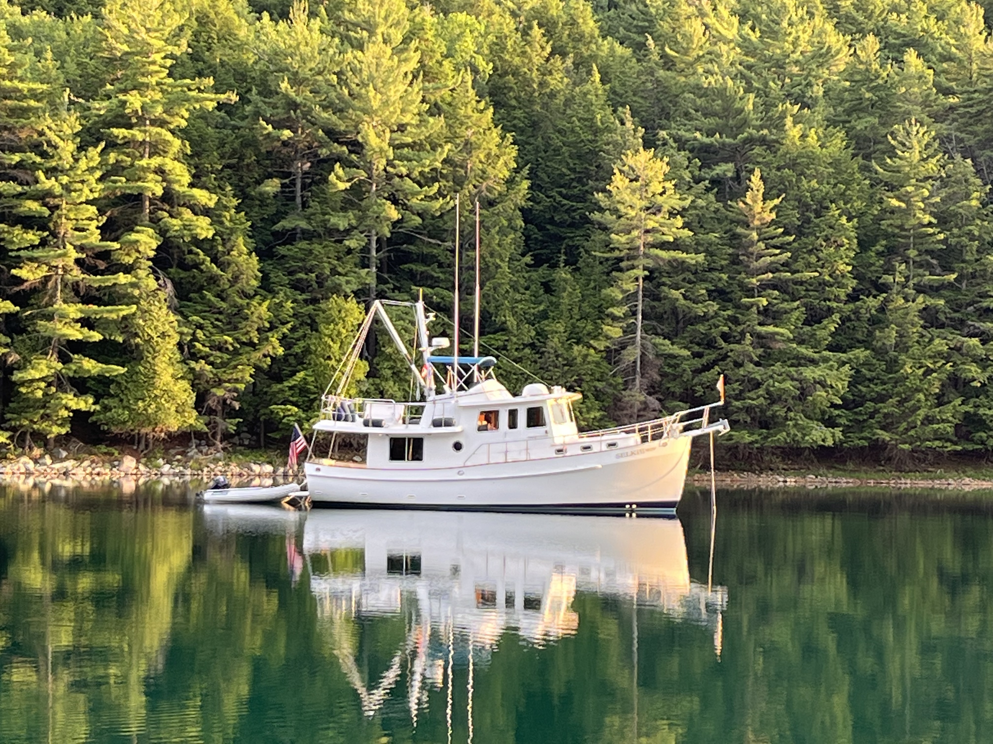
We needed to turn Selkie to a new compass heading: North.
The last time we were headed north it was across Lake Ontario to Canada. But when we turned the corner in the Florida Keys, we were heading north again.
For this last part of our adventure, we would be heading up the Intercoastal Waterway all the way to Solomons, Maryland, where we started the Loop.
Notice that I said, “for the last part…”.
Heading north marks the last part of our adventure with Selkie. We still have several months before we cross our wake, but both Libbie and I felt the emotion of “turning a corner” in our journey.
The Atlantic Intracoastal Waterway (AICW) is a network of protected inland waterways stretching over 3,000 miles from Boston, Massachusetts, to Key West, Florida.
The part we will be traversing for the next few months is the lower part from Norfolk, VA south.

The waterway origins trace back to colonial times when settlers and merchants sought safe and efficient routes for transporting goods along the East Coast.
By the late 18th century, individual states and private investors began constructing canals to connect natural rivers and bays, reducing the risks of navigating the open Atlantic Ocean.
The Dismal Swamp Canal, which we expect to go through in early May, was authorized by George Washington in 1784. Itis one of the earliest and most notable projects that eventually became part of the AICW.
Throughout the 19th century, the U.S. government increasingly recognized the strategic and economic importance of an inland waterway system.
The Army Corps of Engineers played a crucial role in surveying and improving navigable routes, dredging shallow areas, and constructing locks and artificial channels.
The completion of key canals, such as the Chesapeake and Delaware Canal (1829) and the Florida East Coast Canal (1912), provided essential links that made continuous inland travel more feasible. However, the system remained fragmented until the early 20th century when federal initiatives sought to create a unified, standardized waterway.
The modern AICW took shape with the passage of the Rivers and Harbors Act of 1938, which authorized the U.S. Army Corps of Engineers to develop a continuous, maintained channel. The AICW was designed to be at least 12 feet deep and 90 feet wide, providing safe passage for commercial vessels, military ships, and recreational boaters.
During World War II, the waterway became a critical supply route, protecting ships from German U-boat attacks in the Atlantic.
Today, the AICW remains a vital corridor for commercial shipping and recreational boating, offering a scenic and historic alternative to offshore navigation along the U.S. East Coast.
We left Key West, hoping we would return someday.
Our next stop was going to be Safe Harbor Marina in Marathon. It was going to be an overnight, with provisioning and refueling as the goal. Selkie was getting a little low on her 750 gallons capacity and it was time to put some fuel in the tank.
On the way there, we stopped over a shoal, dropping our anchor outside Bahia Honda State Park and tried our luck at fishing.
Our luck wasn’t very good.
Libbie caught a blowfish, and a small shark, but not any of the fish we were targeting. I was skunked.
We continued on and pulled into Safe Harbor Marina, bought 200 gallons of diesel fuel and settled in.
There was some work to be done on Selkie. We had laundry to do and just general chores that we hadn’t been able to do while we were visiting Key West.
We got our chores done, Libbie was able to reprovision her shrimp bucket nearby in Marathon and we were on our way to our next stop, which was an anchorage by Matecumbe Key. The winds were forecast to be strong out of the east the next two days, so we needed an anchorage that had plenty of protection from that direction.
We pulled into our anchorage, dropped anchor and put the dinghy in the water.
Libbie went fishing. She had a few nibbles on her shrimp but otherwise the fishing wasn’t good.
The next few days we were going to be anchoring out to enjoy the outdoors of what Florida keys offered.
We anchored in Tarpon basin by Key Largo Florida.
Soon after dropping anchor we were approached by a couple of dinghies. There was three other boats anchored there, all of them buddy boats and friends. They were not Loopers, although some of them had done part of the Loop.
They asked us if we had any local knowledge of which, of course we did not. They offered to share with us all of the information that they had. We realized that this was a nice group of people that we would become friends with.
We talked fishing, where to get rid of the garbage, where to provision for groceries, and where to fish, most importantly.
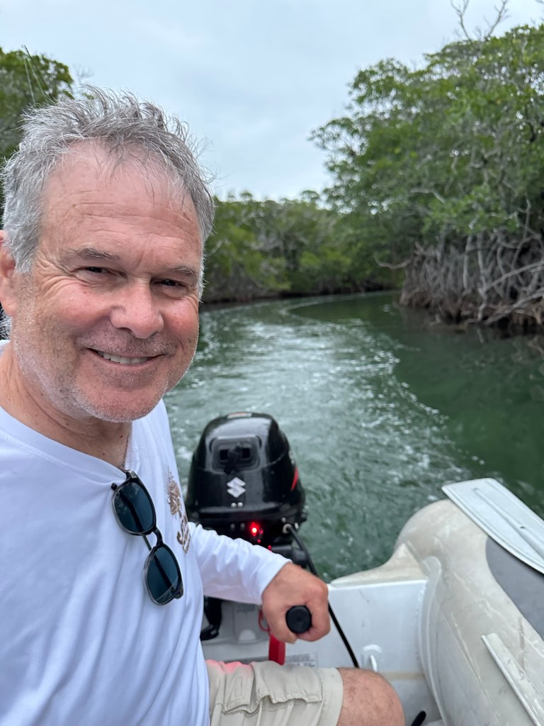
We got the dinghy down. I did some work on the boat while Libbie tried to catch dinner.
Then we went to town.
The way to get onto land was dinghying over to a government center that had a sign that said, “No Dinghies Allowed”, and then tied to a tree in the mangroves and climbed onto some rocks just to the left of the government center.
A lot of people were doing it.
Unfortunately dinghy shore access is getting harder.
Most municipalities that allow it often find themselves saddled with floating homeless encampments and derelict boats. In this case it did not seem as bad as we had seen it before.
We walked to the grocery and hardware stores. Libbie was able to buy shrimp for bait. We brought our provisions back to Selkie.
We then went fishing in the mangroves.
The fishing was good. We caught a bunch of snappers and grunts, most too small but still fun to catch. We kept enough legal ones for dinner. They were very tasty.
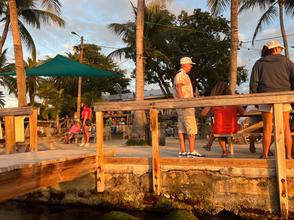
The next day, “The Locals” as we called them came by and invited us to go to the Caribbean Club.
We hopped in our dinghy and followed them the 2.5 miles over to the club.
The Caribbean Club gained its notoriety as part of the set of Key Largo, a 1947 movie starring Humphrey Bogart and Lauren Bacall. It has also been featured in other productions, the most recent being a scene from Bloodline. It was a fun place to hang for a while.
We had an excellent three days in Tarpon Basin. But the itch to move needed scratching, so we moved on.

3 replies on “Headed North Again”
sounds like a really nice adventure in the Florida Keys and Everglades. definitely bittersweet to be heading north. wishing you safety and fun in your final chapter of Looping with Selkie. Allison T.
LikeLike
Too bad Key Largo probably doesn’t look like it did in the 1940s film. That would be a real time warp in the scenes you’ve enjoyed.
LikeLike
Pictures look great! Tales of your adventures a great read! Hoping you continue to enjoy the journey along Florida’s coast! Unfortunately, I don’t think we will able to see you as you make your way towards Central Florida. We leave on a trip this coming Tuesday(11th).
LikeLike