It’s always fascinating to see how the geography changes along the way on the River System of the US.
The Tennessee–Tombigbee Waterway, known by many as the “Tenn Tom”, is a 234-mile artificial U.S. waterway completed in 1984.
It flows from the Tennessee River to the junction of the Black Warrior-Tombigbee Riversystem near Demopolis, Alabama.
The Tennessee–Tombigbee Waterway links marine navigation from the central part of the United States to the Gulf of Mexico, and functions as an alternate to the Mississippi River.
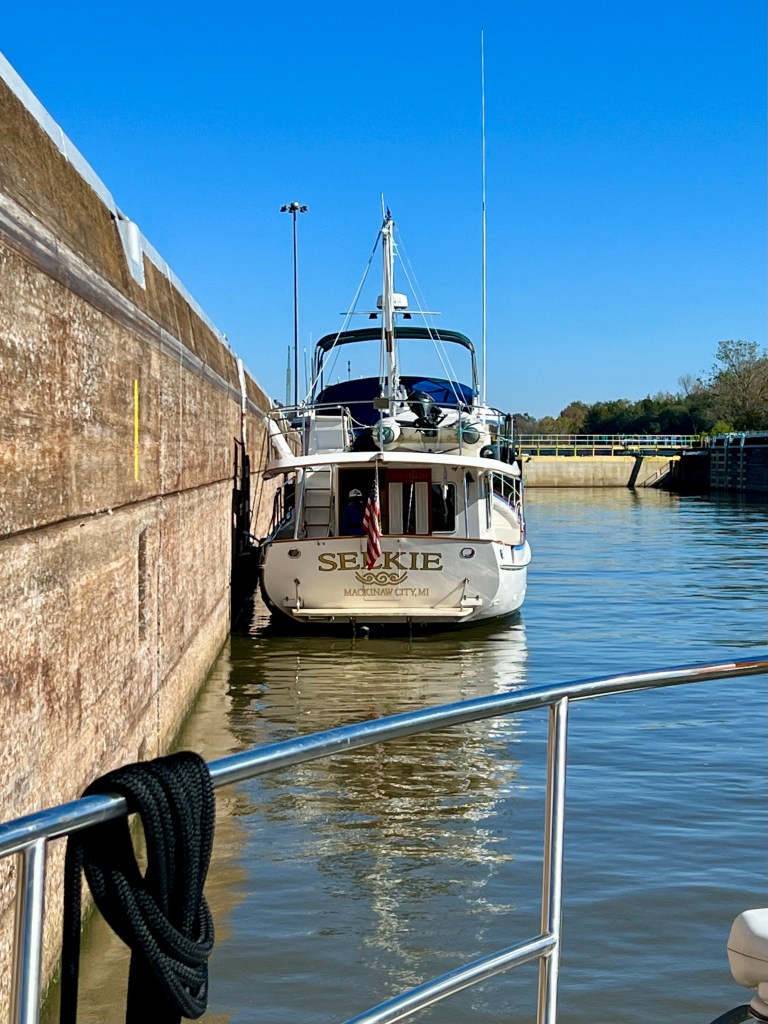
To make it, the Army Corps of Engineers dug a 175-foot-deep, 29 mile cut between the watersheds of the Tombigbee and Tennessee rivers. The construction includes ten locks and dams.
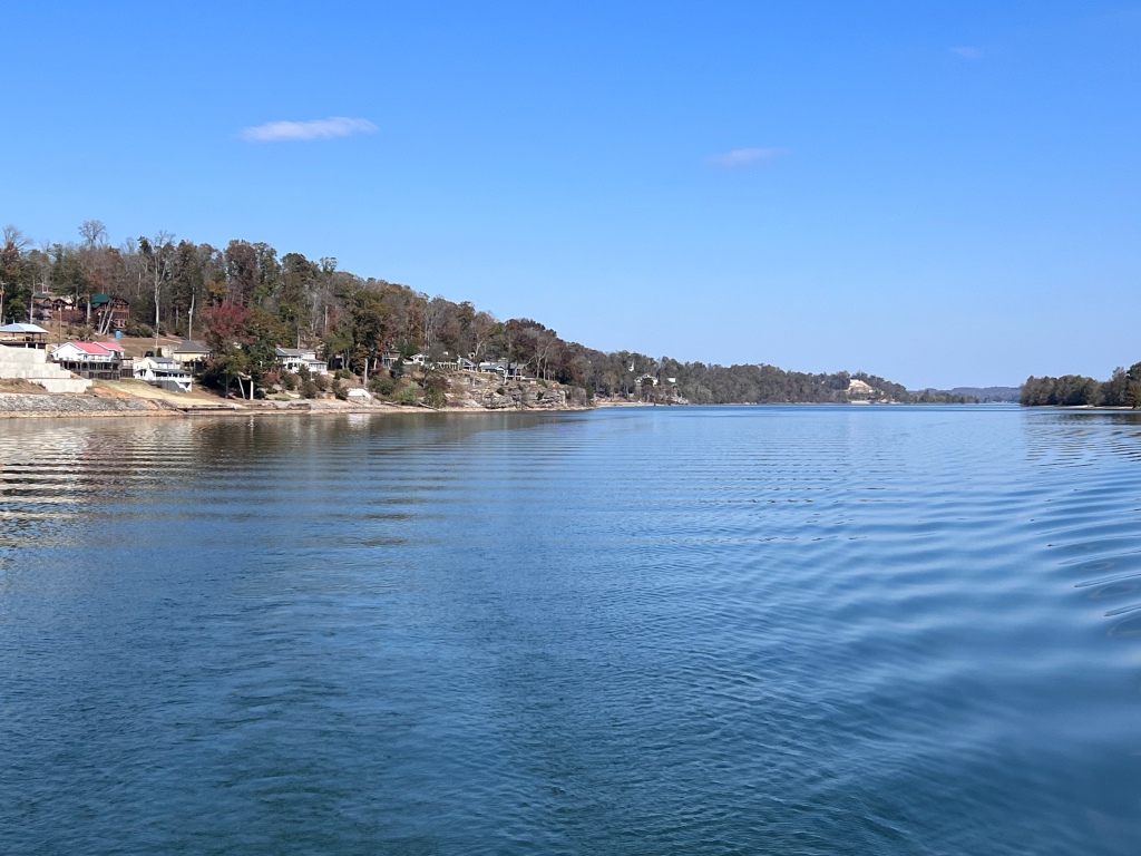
As you move through the Tennessee Tombigbee Waterway, the rolling hills of Tennessee give way to more rugged rock bluffs, then to sand banks and bayous as one proceeds south into Alabama and Mississippi towards the Gulf of Mexico.

Birds change from Bald Eagles and White Pelicans to White Herons, Cattle Egrets and Brown Pelicans. The variety of wildlife changes constantly, except for the ubiquitous Great Blue Heron.
The Tenn Tom Waterway is known by some as “The Ditch”.
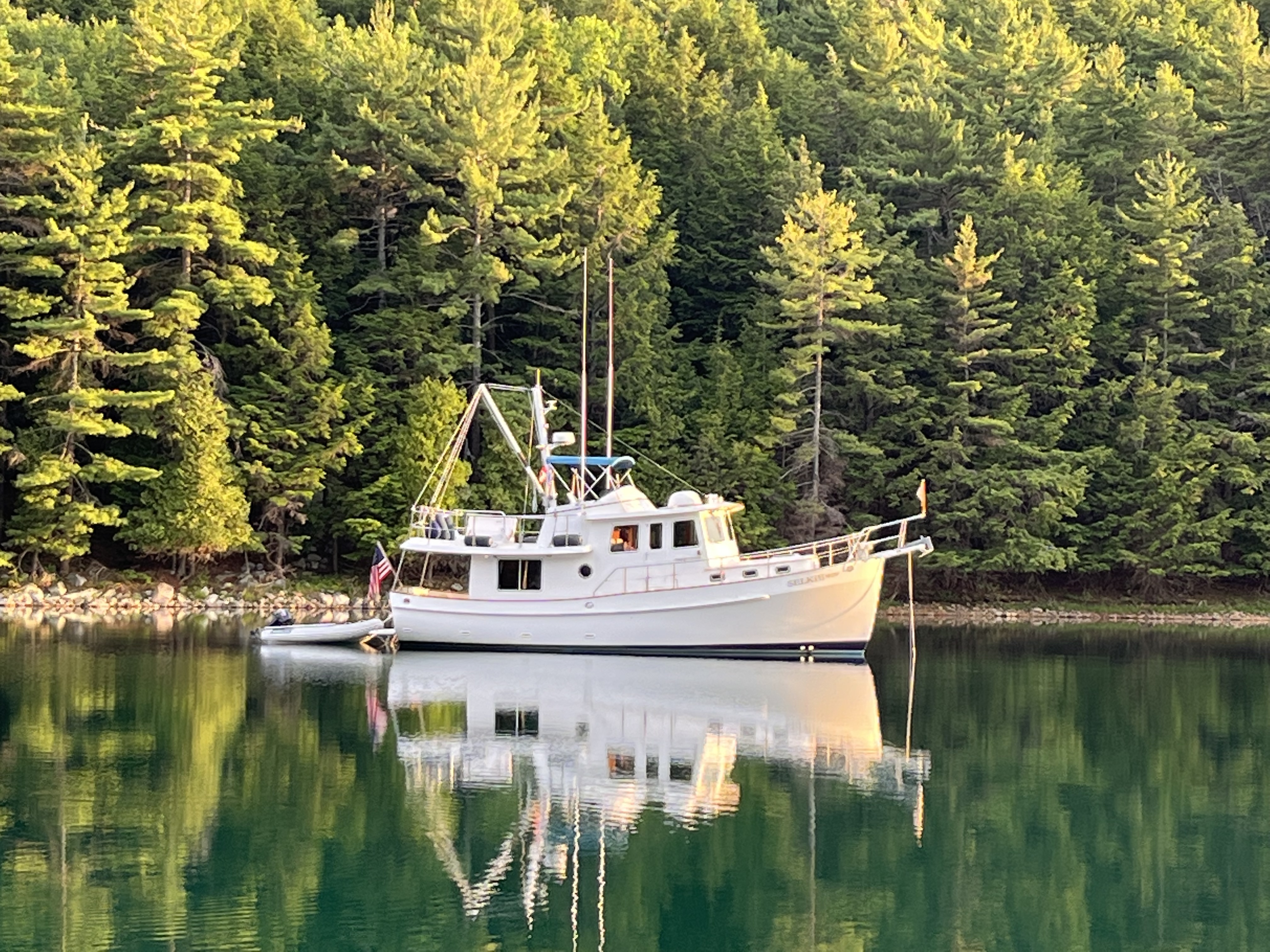
In some respects some of the northern parts of the Tenn Tom reminded me of the North channel in Georgian Bay, particularly in Southern Kentucky and Tennessee.
It’s more populated than the North Canadian shore of Lake Huron.
It reminds me a bit also of the Trent Severin waterway in terms of the population density of homes along the waterway.
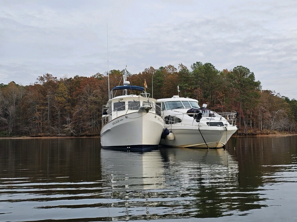
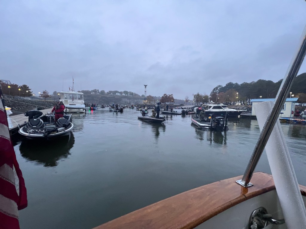
The boat demographic changes a lot down here, too.
It’s no longer the old wooden Chriscraft, or the ski boats or the surfing boats.
It’s now predominantly bass fisherman zooming around in quest of their catch or deer hunters moving to their hunting spots.
There’s probably more of the former in the summer.
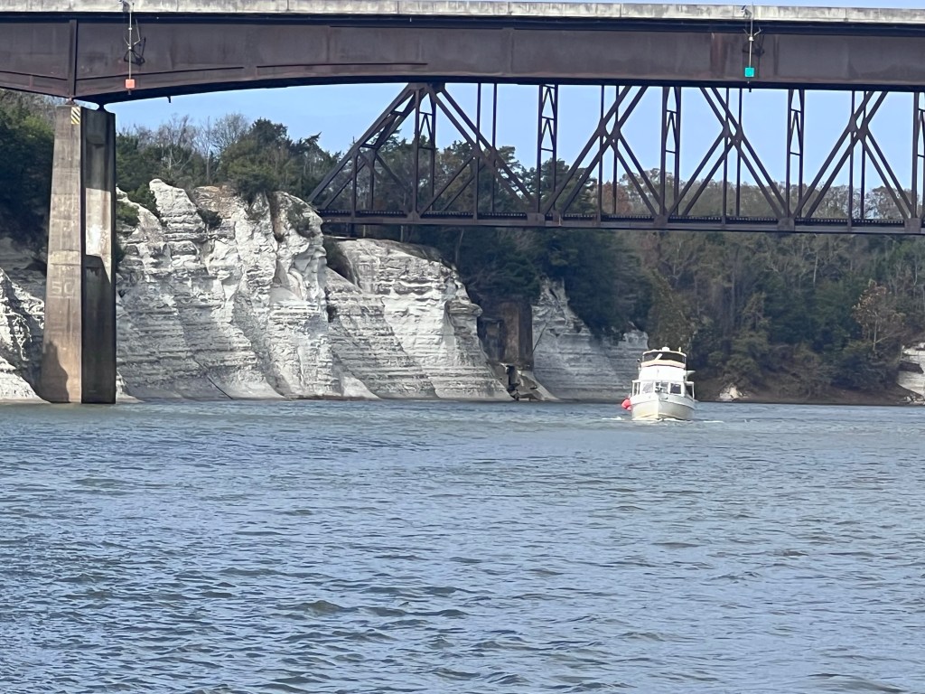
Much of the banks of the waterway expose a heavy, sedimentary rock that was deposited over time and on an ancient floor.
As we went along the Tenn Tom, we passed through occasional straight sections that were dug to cut off what are called oxbow turns on a river. Often there was a lock at the end of that cutoff.

Oxbow turns are where the river meanders for miles out of its way as it follows the easiest path down towards the ocean.
The army core of engineers, in the interest of commerce, cut a lot of shortcuts through oxbows so it shortened the distances on the waterway.
As we proceeded down further down the Tombigbee River, occasionally you would see a clearing and a bunch of downed tree like a giant weed whacker went through.
When I saw the first one, it took a minute to realize a tornado had gone through.
It was probably a quarter mile stretch with down trees about a foot and a half to 2 feet in diameter. Their crowns just laid at the feet of the trunk of the trees.
The displays of power that mother nature can throw at you are impressive.
Luckily there haven’t been any real severe thunderstorms that we’ve experienced since we left Canada.
One interesting fact is that our insurance requires us to stay above a certain latitude in northern Alabama until November 15 and then we have to be north of that latitude by May 15. Otherwise our insurance rates go up a lot because of hurricane season.
The further south we got the more we started to see indications we were in the south. Spanish Moss hung from the trees. Palmettos started to line the waterway. We started to see more species of gulls and terns indicating more marine life in the area. Before we knew it, we were locking through our last lock for a while.
After the locks, the river started slowing down.
After five weeks and a day, we entered the Gulf of Mexico.
It’s been quite the journey down the river system.
Trying to keep Selkie clean from the river mud has been a chore.
The tension of steering around shallow shoals and bars can be wearing, particularly when the charts have not been updated in a few months; the river bottom depth changes that quickly.
Maneuvering around the big towboats and their barges, whether “on the one” or “on the two” is intimidating.
The rivers were challenging, and yet we had a good time.
But after about 1,300 miles on the rivers, we are looking forward to spending more time in warm waters and on sandy beaches.

8 replies on “The Ditch”
Thanks for sharing your grand adventures.
LikeLike
An odd question I know, but what happens to Selkie when you make full circle back to the Chessy? Such a life’s journey tied up to the dock, yet running like a freight train through your veins; it would be hard for anyone to let that go. Somehow I believe you both will be at anchor, wether on board or miles away, reliving your travels in deep rem sleep dreams.
LikeLike
We aren’t sure, but we have thoughts about it. Definitely would like to keep her in the family a few more years, but who knows what will happen when life tosses curve balls your way.
LikeLike
The weather has been great around Florida. I am surprised you didn’t have some more turbulent weather as you came through Alabama. There was a “ low” system which weather forecasters keep talking about and the possibility of tornadoes. We are now in an él nino pattern which means we may have more of a wet winter. Safe travels! We hope to see you as you travel the peninsula!
LikeLike
Just a hmm? Moment ! Could the salinity problem in the Mississippi be caused by the diverting of water flow fom the Mississippi to the ditch !!???
LikeLike
Ahoy Selkie.
We saw you pulling into the Big Sabine Anchorage today in Santa Rosa Sound at sunset and got a couple good pictures. If you have a contact I can send them. Not a scam, we were on the poontoon boat that rolled in behind you. Anyway, hope you have a good trip. Charlie Glassmire, Navarre FL.
LikeLike
Thanks!!! That would be awesome. Email is tad.sheldon@sbcglobal.net. Happy Holidays!
Tad
LikeLike
Always such a fascinating read – thank you!! Interesting to hear about the maintenance burden while you were in fresh, river water. Now you’re back to the salty (corrosive!) sea — if it’s not one thing, it’s another! Marcia
LikeLike