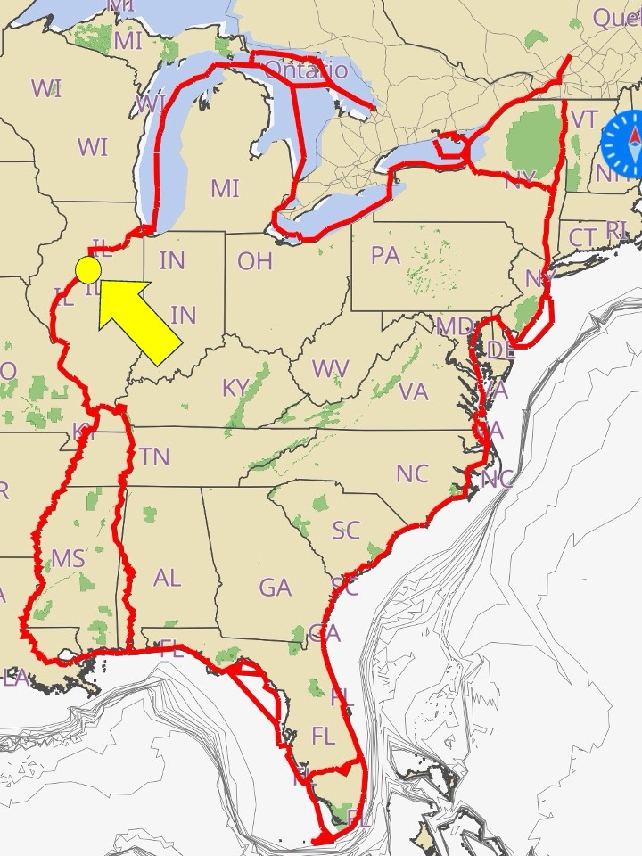
It’s interesting going through the Illinois river.
According to prehistoric history aficionados , back a few ice ages ago it was part of the original track for the Mississippi river.
Back then, one of the glaciers in the area blocked the flow of the Mississippi and rerouted the Mississippi to its current location.
A lake the size of one of the Great Lakes formed over what is now Indiana and filled in behind a glacier moraine.
Eventually as the glaciers warmed and melted, the moraine let loose and a huge torrent of water broke through. That water emptied that lake, according to some in a matter of days.
That would’ve been a huge torrential flood, but that’s why the Illinois River Valley has the shape that it has today.
Once humans arrive on the scene, the river was an important trade route among Native Americans, and when they appeared, early French people.
It is the principal water route connecting the Great Lakes with the Mississippi River Valley.

The French colonial settlements along these rivers formed the heart of the area known as the Illinois Country in the 1600’s and 1700’s.
Reading about this history is fascinating especially while you’re areseeing it in person.
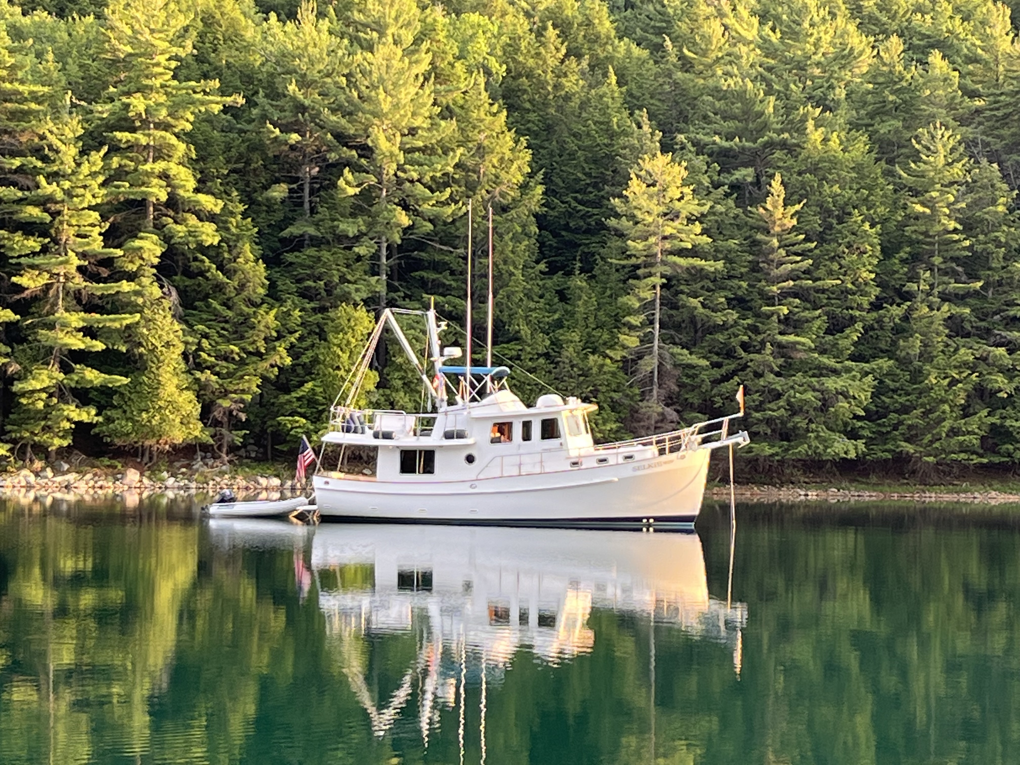
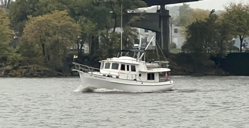
When we were at Heritage Harbor, we went ahead and raised all our radar and radio masts to their normal height. There were no more low bridges that we had to cross under.
Having all the masts down made Selkie look kind of odd, almost as if she’d had a bad haircut, or that we’d forgotten about a few low bridges.

Once we had the radar mast up, I felt a lot better about her.
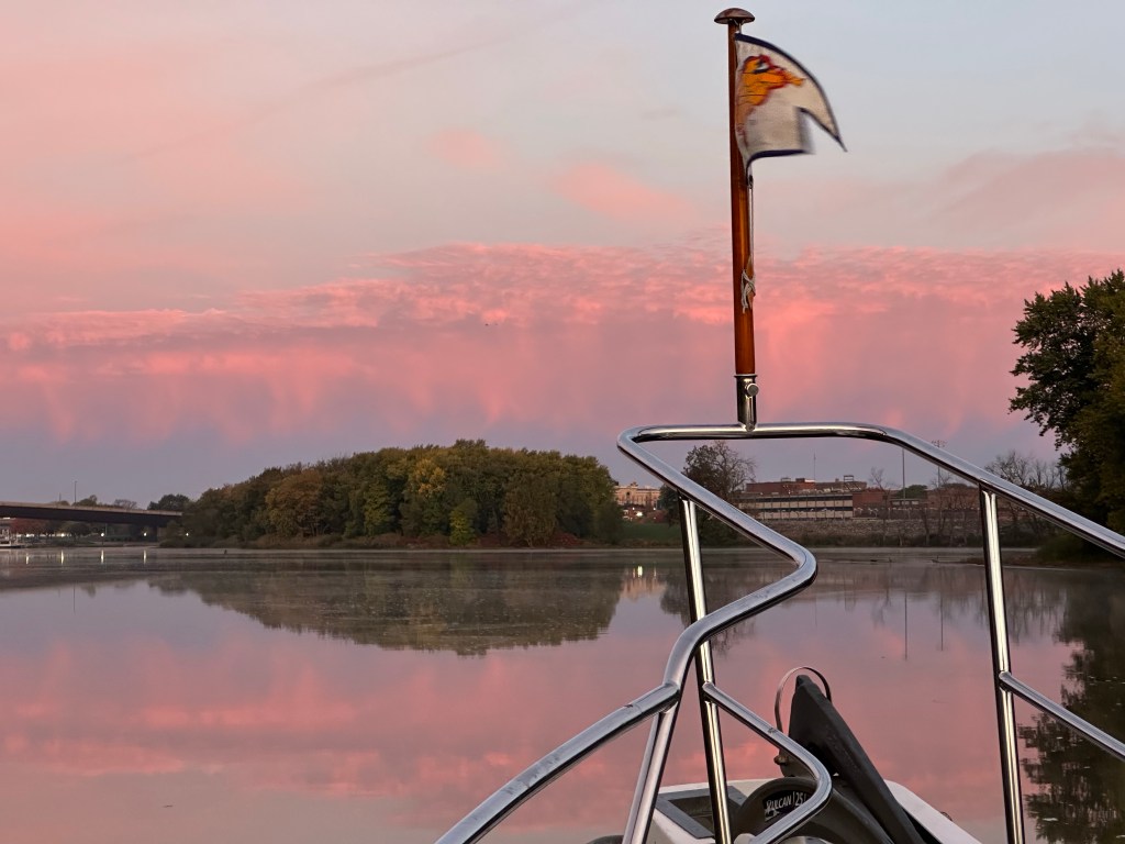
We left Heritage Harbor with a much nicer morning at dawn.
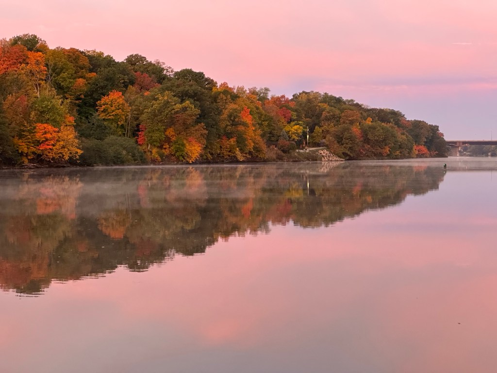
The sunrise was beautiful. The sun was starting to cause a little bit of mist rising off of the river.

This was a much nicer part of the river. The fall colors are starting to happen.
We called ahead to the Starved Rock Lock and asked permission to pass. They had the gates open for us when we arrived. That is always a good thing. If a towboat is at the lock with a large contingent of barges, it could mean 3 hours delay. If there’s more than one, then it could be all day.
We locked through without incident and continued on. There was a dredging operation about 15 minutes after the Loch. The dredge was nonresponsive when we called them so we went our way past slooooowly hoping we wouldn’t snag anything.
We were relieved that we passed without incident. We kept going.
It was a nice day. The sun was out the temperature was a balmy 67 degrees. It was even warm enough to put shorts on.
It was easier to relax after having gone through the locks for a while. There were no more locks to go through this day. Its just about putting miles under our keel for now.
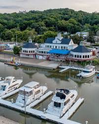
Our next destination was the Illinois River Valley Yacht Club, otherwise known as the IVY Club. The IVY Club is an older club that reminded me a lot of our yacht club back in San Francisco.
We had to cross North Peoria lake to get to it before we could dock.
North Peoria Lake is a very shallow lake, similar to Channel Lake on the Trent Severn…except for the big tugs and barges. It is a very shallow lake with a navigation channel. It’s a recipe for running aground if you’re not careful.
The channel is marked for navigation, in this case red nun bouys on the left and green can bouys on the right because we’re going down river.
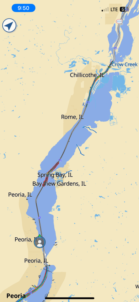
We got partway through the lake and noticed in the distance a couple of the green can markers seem to be in an odd position. It turns out one of them had probably been pushed by a barge and was “off station.
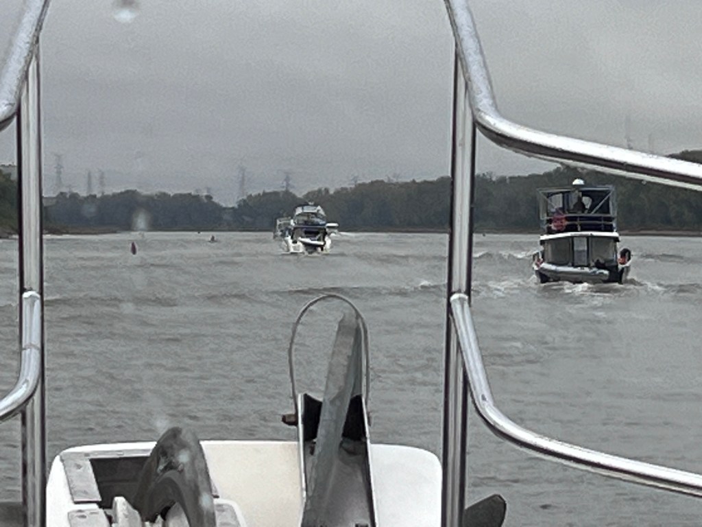
The boat in front of us was also confused and in fact, went to the right when they should’ve stayed in the channel and they ran aground.
After a series of maneuvers, they were able to get off and on their way, but it was a good reminder for all of us that we really got to watch the navigation charts.
I spoke with the captain afterwards. He said he did a nice job polishing his propeller.
We arrived at the IVY Club and made the right turn into their harbor.
We watched the depth go from a nice 15 feet up to seven, then six and five then four and a half.
At that point the depth finder alarm was going off rather insistently.
We draw just under four and a half feet so we may have put a little groove mark in the river mud on the bottom.
It wouldn’t have done anything to Selkie but it was still very unnerving.
We pulled into the slip in the depth of the water was about 4.7 feet under the boat.
That meant we had a few inches to spare while sitting at the dock.
Something that occurred to me was that we had really strong winds from the southwest the full length of North Peoria Lake
There’s an effect that the wind has on the water when the winds are strong, particularly with shallow water.
We’ve experienced this in Saginaw Bay on Lake Huron, where the wind comes out of the north east and will push the water up 2 to 3 feet in height. It’s called a storm surge when there is a hurricane on the coast.
The phenomenon in the inland lakes is called a “seiche,” as the wind acts like a bulldozer and pushes the water in front of it.
I was hoping that was what happened on North Peoria Lake because we were at the leeward end of the lake and all the water would have been pushed to the other end of the lake.
That night we had a dock with six Looper boats that had come into the IVY club.
We saw folks that we hadn’t seen since Georgian Bay and the Straits of Mackinac. It was nice to have a little reunion.
We also met some new Loopers.
We had a good dinner at the club and went to bed.
The next morning it was cold and damp.
We got the call to be at the Peoria Lock at 8:30. We left the IVY Club at 7:30.
My concerns about the shallow water the night before were relieved somewhat as we had about six more inches of water in the harbor in the morning. It seemed to confirm my thoughts about the water level being affected by a seiche.
So we went ahead and headed safely out and continued on our way down the Illinois river.

2 replies on “Continuing On the Illinois”
Always a gre
LikeLike
Wow – I had no idea the wind could push water, on a river, 2-3′!! Fascinating!! I’m learning that rivers are not nearly as protected as I thought they were!! Marcia
LikeLike