This year, we’ve been doing a portion of the Loop in reverse.
The downside perhaps is that we’ve been getting some quizzical looks from other Loopers as we steam by in the wrong direction.
An upside is that we’ve seen a lot of Loopers!
We last left you with the goodbyes from the cousins.
It was getting close to the time for us to turn around and head the way most everyone on the Loop was going.
Last year, we had to blaze through this section of our trip because we needed to get back to Mackinaw for a reunion.
But this year, the main reason we came back was we had a lot more time to explore the waterways in the North Channel and Georgian Bay were.
You may recall that the Illinois River Locks are closed until the end of September and no one can continue past Chicago until then.
We’ve been happy with our decision to go back
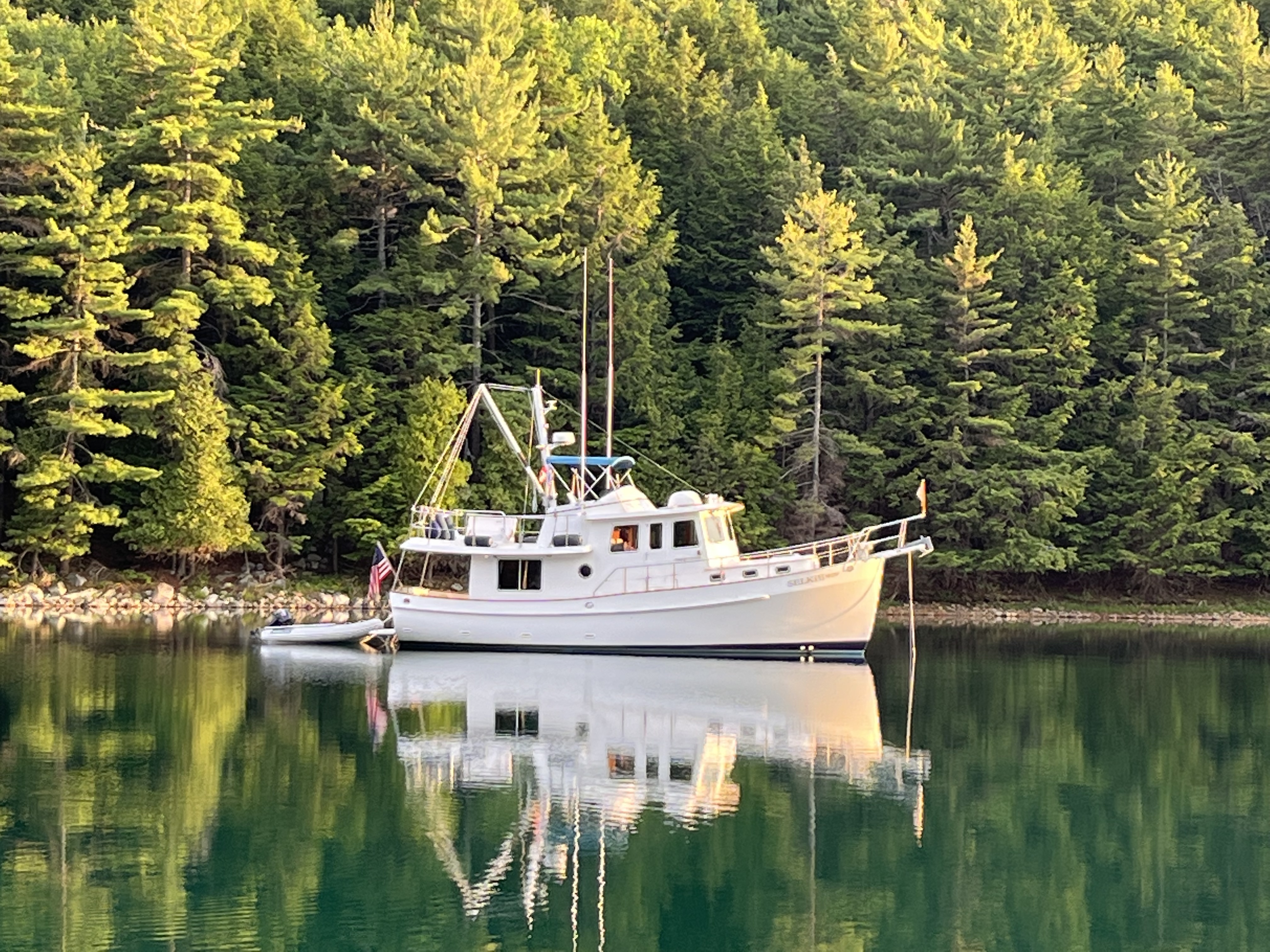
After spending the last night at the Covered Portage Anchorage, we weighed anchor and headed through Killarney back to Collins Inlet.
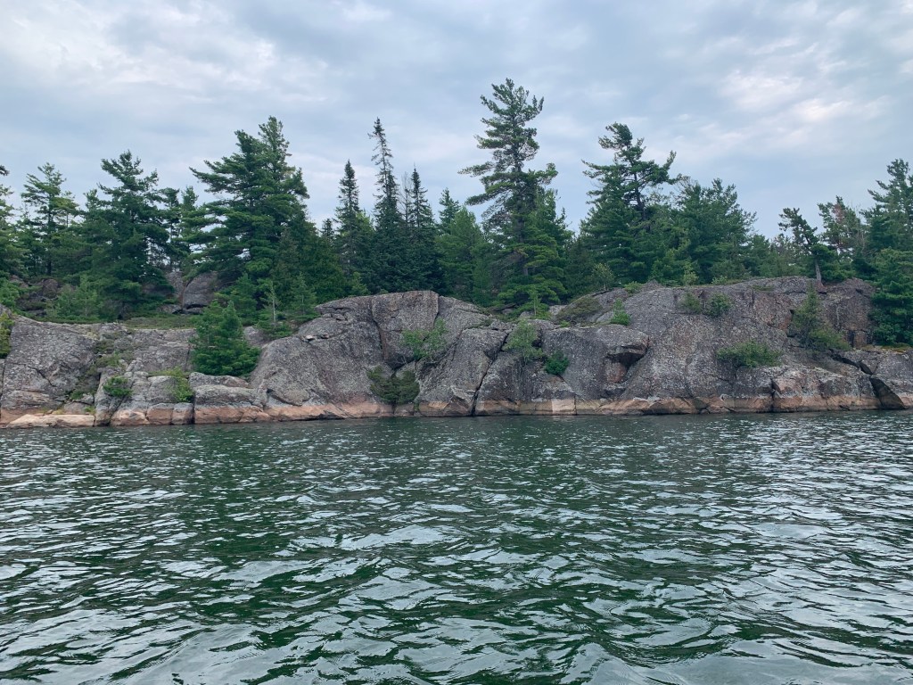
Collins Inlet is a narrow channel naturally made through geological and glacial forces, much like many of the waterways in the North Channel and Georgian Bay.

As we proceeded east along the channel in Collins Inlet, there was an occasional resort or fish camp here or there, along with cottages scattered in the area, but not much else.
Like many tourist areas, the area is still pretty depressed from the COVID years.
Our cell signal dwindled to no signal, and the only connection we had to the outside world was VHF radio.
One of the things we rely on with cell service is an accurate weather forecast.
We know how to read the clouds in the skies and understand what weather is coming in the next few hours.
It’s still nice to know what the weather service is thinking a day or two out so that we can plan where we’re going to go, and what anchorages or marinas we’re going to be in.
With the VHF radio we could at least still get weather reports from the Canadian national weather service. But even the VHF Rdio became faint and hard to understand.
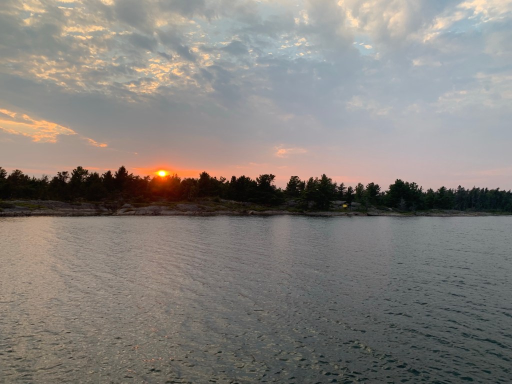
We continued through Collins Inlet and across a lake that was very intriguing in terms of island anchorages. We then continued on before we turned south, and headed back out towards Georgian Bay.
We had identified an overnight anchorage that was suitable for the weather that was coming. It was protected from most points to the compass, except for directly east of us, but the weather was supposed to be coming from the west.
Once we anchored, we settled in for the night and enjoyed the scenery. As usual, Libbie threw a line in and fished.
We planned the next day.
There was a storm forecasted to come through in two to three days with high wind warnings, and we needed to be in a place where we felt safe. We decided to head towards a marina at Bing Inlet.
One of the reasons we like to go into marinas occasionally other than replenishing our groceries is to plug in and (literally) recharge our batteries.
Being on a generator at anchorage is a nice thing to have, but you can’t charge your batteries properly for long term.
Discharging and recharging batteries over a week without giving them a complete charge degrades them over time, and as they are a large dollar item to replace, it’s better to go in regularly to a place that will fully charge your batteries overnight.
The Byng Inlet marina turned out to be a five hour cruise for us the next day. We went through some narrow natural channels to get there.
One channel, called Roger’s Gut, (Roger must have had some intestinal problems) was pretty intimidating. It was less than twice as wide as Selkie, but it had 9 feet of water on the charts, so it was safe as long as you stayed in the middle.
The very middle.
The very, very, very middle.
As you went through Roger’s Gut, you could see where someone had pulled rocks out and piled them up on the side so that nobody would hit them coming through.
Continuing on our way, some of the channel markers seemed in to be in odd places, unless you considered how the authorities responsible for safety, search and rescue placed each channel markers.
I could hear the conversation go something like, “Ok, so John ran aground up on this big boulder that’s right here, so if we put the marker here, it might make the next person that goes through this tight passage miss that boulder.”
It was interesting maneuvering through those channels. In fact, two or three of the turns required us to make a very hard right or left turn, almost doubling back or else we were going to end up on a big boulder.

We had a process by which we managed these tight waterways, called Bow Watch. We put our headset walkie-talkies on so we could communicate clearly.
I steered from the pilot house, and Libbie was on the bow, watching for anything that we could hit. Thanks to Libbie‘s sharp eye, we avoided everything.
We reached Byng Inlet, and got to our marina. We tied up for the evening and spent two nights there.

We were able to get a full charge on our batteries.
Byng Inlet has a tiny little town. They used to have a restaurant that operated before Covid but the restaurant is closed right now. They’re hoping to get it open next year.
There was a small general store so we were able to buy provisions.
There wasn’t much fresh vegetables or fruit, they didn’t have milk the first time, but they had a container of some tiny peaches that were delicious.
After 2 nights in the marina, we decided to leave the next morning.
In fact, we decided it was finally time to turn around and head back the way the other Loopers were going.
It was a wet morning with winds out of the west about 15 knots. After sailing in all conditions for 20 years in San Francisco Bay, we did not take the comfort of Selkie’s pilot house for granted.
We knew that once we got outside Byng Inlet that the winds and waves would pick up.
We were planning on going back by following our track as closely as possible, particularly though the narrower passages. We made a very good call by staying in the inner passage to get Selkie to where we wanted to be.
Otherwise, we would have turned around and gone back to the dock.
We were seeing winds at 20 knots, gusting to 30, and the shoals that protecting the inner passage were “churning and burning”. The shoals had big waves breaking and generating a lot of white water. It was very intimidating to look at.
There was a couple of openings we had to cross where we got rocked pretty well while following the inner passage, but Selkie was doing great.
We continued on, back through familiar territory by now (including Rogers Gut).
Our target anchorage was Fox Bay, another inlet, but this one was not marked with channel markers.
It was, however, more than 60’ deep in most parts.
We turned into Fox Bay, put Libbie on Bow Watch for the narrower parts and headed to the end of the bay where we anchored.
There was no one around. In fact there was probably no one with 10 miles of us as best as we could tell, as people don’t like to move their boats in rough weather, except for us apparently.
Cell service was non-existent. And we could not get any weather forecast on the VHF… just static.
We dropped the dinghy down from her storage rack and explored the area.

The fishing was pretty frantic for about an hour as well.
We stayed 2 nights.
And we were finally heading the right way.

One reply on “We’re Going the Wrong Way”
Love these trip logs. Thanks
LikeLike