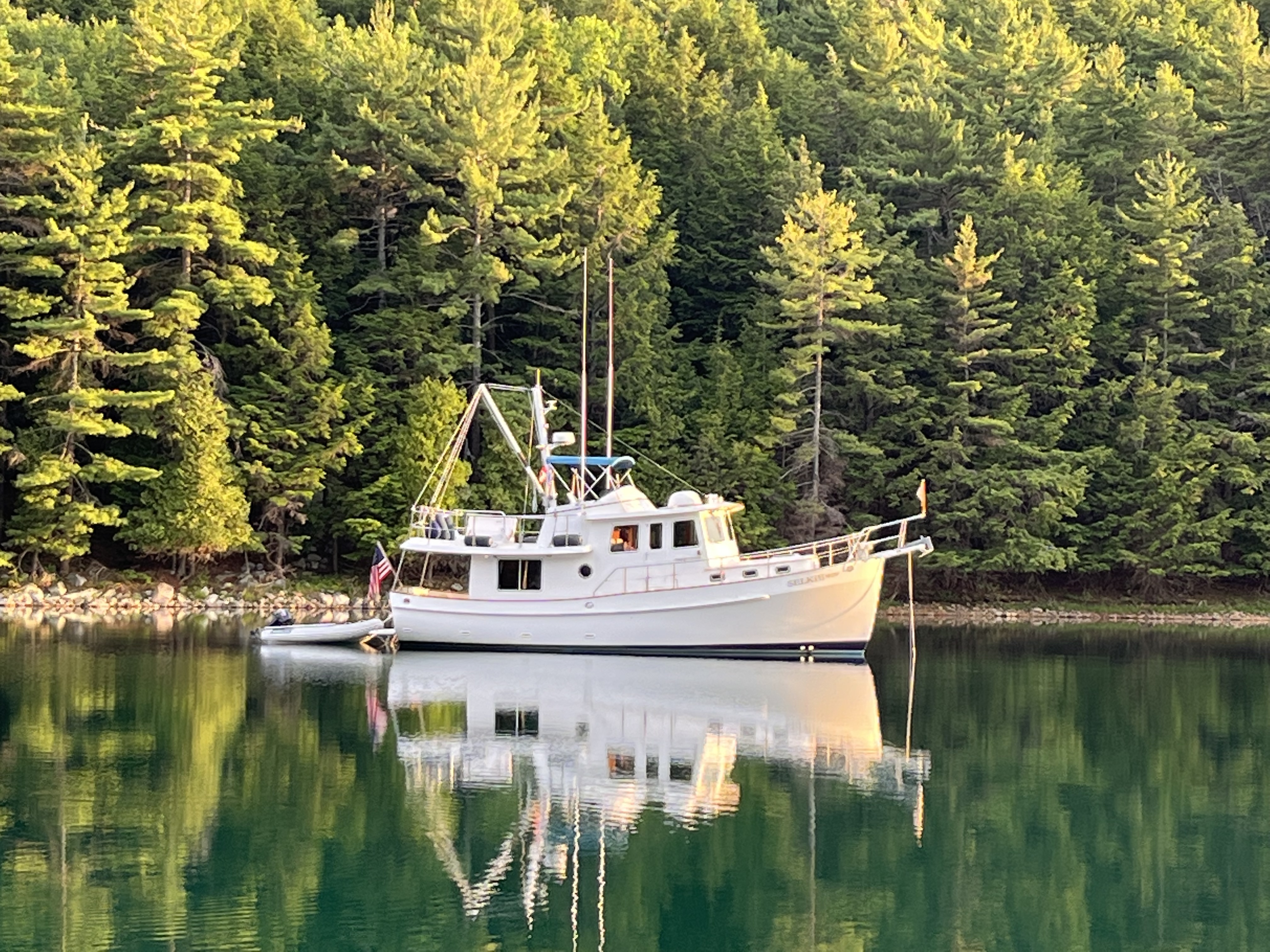
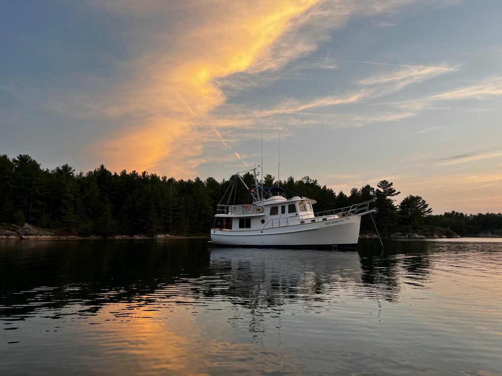
It was a cool clear morning when we took off from Portlock Harbor north of St. Joseph’s Island in the St. Mary’s River.
We had a long day ahead of us, about 6 1/2 hours to our destination of Carolyn Island.
We navigated through the various underwater obstacles to get out of the anchorage and then were on our way.
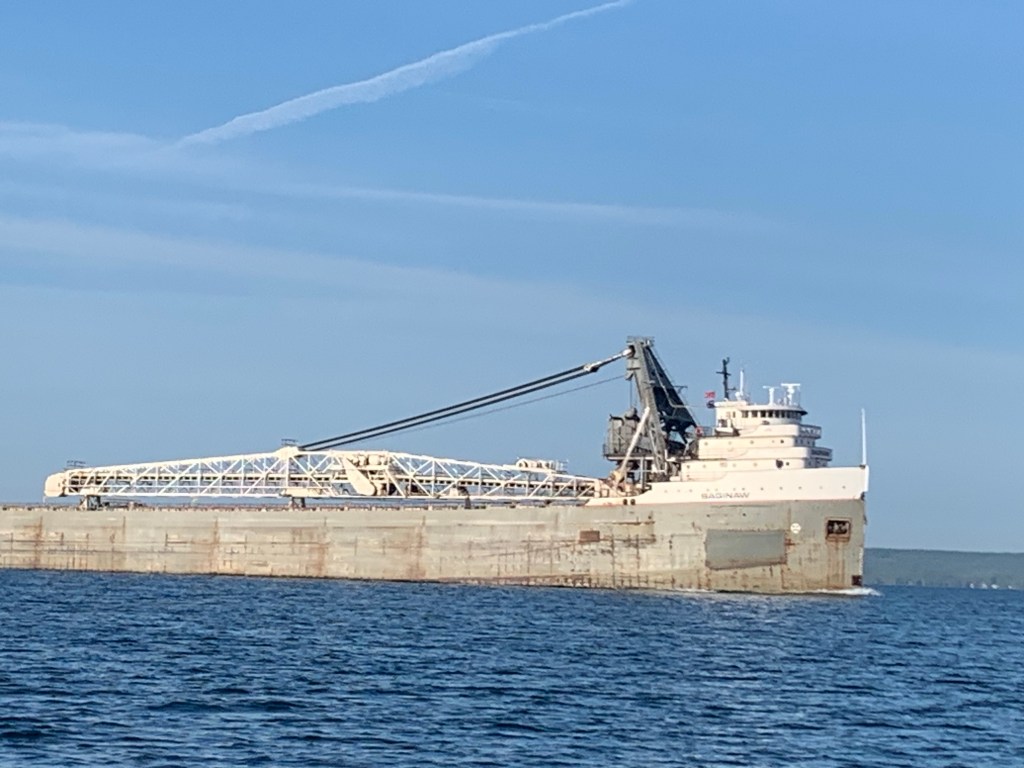
We passed the towns of Thessalon, Blind River and other villages along the way as we hugged the north shore of the north channel.
Winds were light, but they built later to 15 knots, which wasn’t a problem for Selkie.
However, we heard an alert from the Canadian Coast Guard over the VHF radio about a weather event for the next day. Winds were going to veer to the northeast and pick up a lot, which meant Caroline Island was not the appropriate place to anchor.
We needed to change to a better anchorage based on the wind direction.
We decided to go to Long Point Cove where we could hunker down and be safe from the weather.
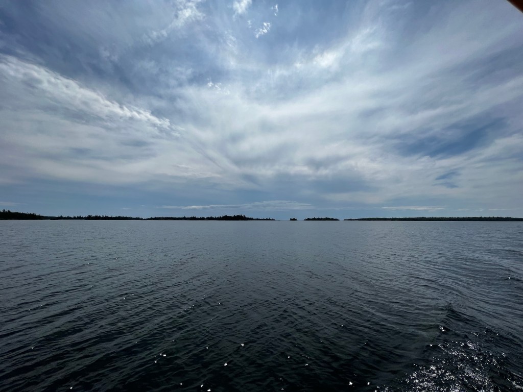
The trip was uneventful (just as we like our trips) but added an hour to our trip. As we watched, we could see the clouds starting to building from the south.
They were classic high cirrus clouds with a front of cumulus in front of them.
Checking the weather radar showed a storm system going through central Michigan and heading towards the north east towards us. We were glad we changed our minds.
When we got to Longpoint Cove, we saw that the cove was full, and so we were a little disappointed. We headed on to Serpents Bay just outside the cove, which probably got its name by its shape.
We tried setting anchor.
The anchor didn’t catch. That was unusual for our anchor.
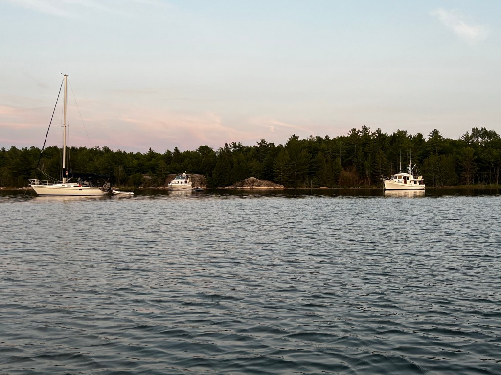
We decided to go look for another place, and as we turned around another boat came out of the cove, which opened up a spot for us.
We went in and grabbed it. We didn’t want to stay in Serpents Bay anyway.
We put the dinghy in the water and went to exploring all the little coves and bays in the area.
As I’ve mentioned before, this part of Lake Huron has a lot of hidden rocks.
It’s part of the Precambrian Shield. It’s also called the Canadian Shield, or the Laurentian Plateau.
It is a geologic shield, a large area of exposed Precambrian igneous and metamorphic rocks. It makes up the North American Craton, the ancient geologic core of the North American continent formed 4 1/2 billion years ago.
Long Point Cove is a beautiful cove with high bluffs around it. It is not as nice as our favorite anchorage so far, Covered Portage, but pretty close, and was enjoyable while the weather blew through the next day.
There was only one issue with the cove.
At night if the winds were down, it filled up with mosquitoes, which drove us quickly inside the boat at dusk.
Luckily, the winds were up the first night with a storm coming in and the mosquitoes were not quite so bad, but the next night when the storm blew through and the winds died down they were pretty ferocious.
Libbie caught a big smallmouth bass, which is a story for another blog.
With the weather blowing through we decided we were going to move on the next day. We chose our destination in a bay at Eagle Island, just west of the Benjamins Island Group in the North Channel of Lake Huron.
More later.

One reply on “Hunkering Down”
Loved your stories in the last post about the boat house!
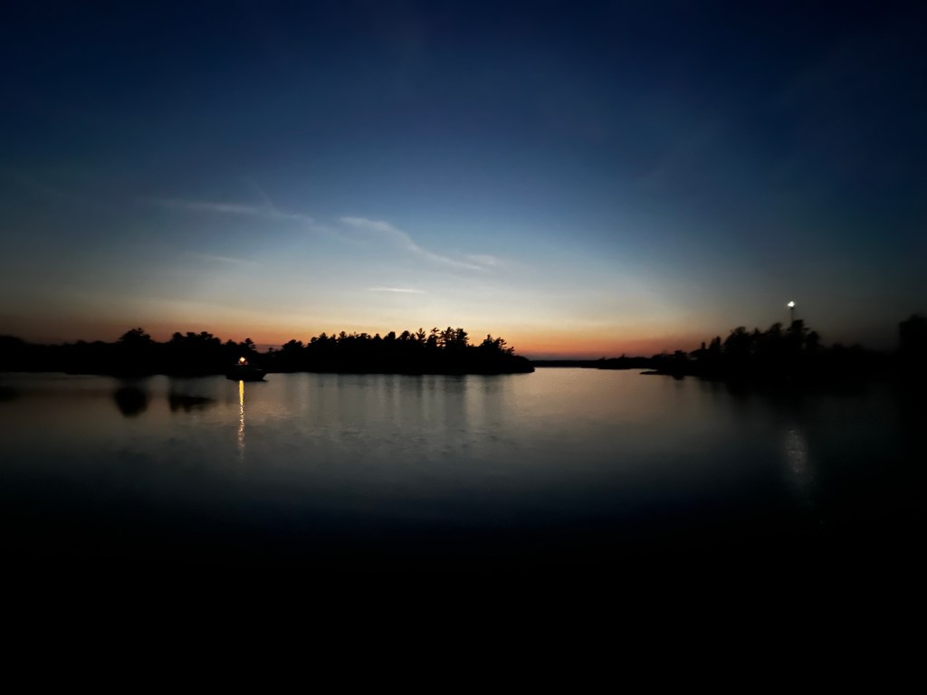
The sunset photos…very nice! Enjoying the ride from Sunnyvale ♥️
LikeLike