The Big Bend is the West Coast of Florida between the Florida Panhandle to the north and the Tampa Bay Area to the south.
It is not as remote as the Everglades but it is still not traveled as much as the central and eastern part of Florida.
The coast is populated with long stretches of salt marshes, crab pots and smaller towns.
The water is very shallow in these areas. The rule of thumb people use to judge the water depth is one foot of water for every mile of distance from the coast line.
That means if you are four miles off the coast in the Big Bend area, you will most likely be in four feet of water.
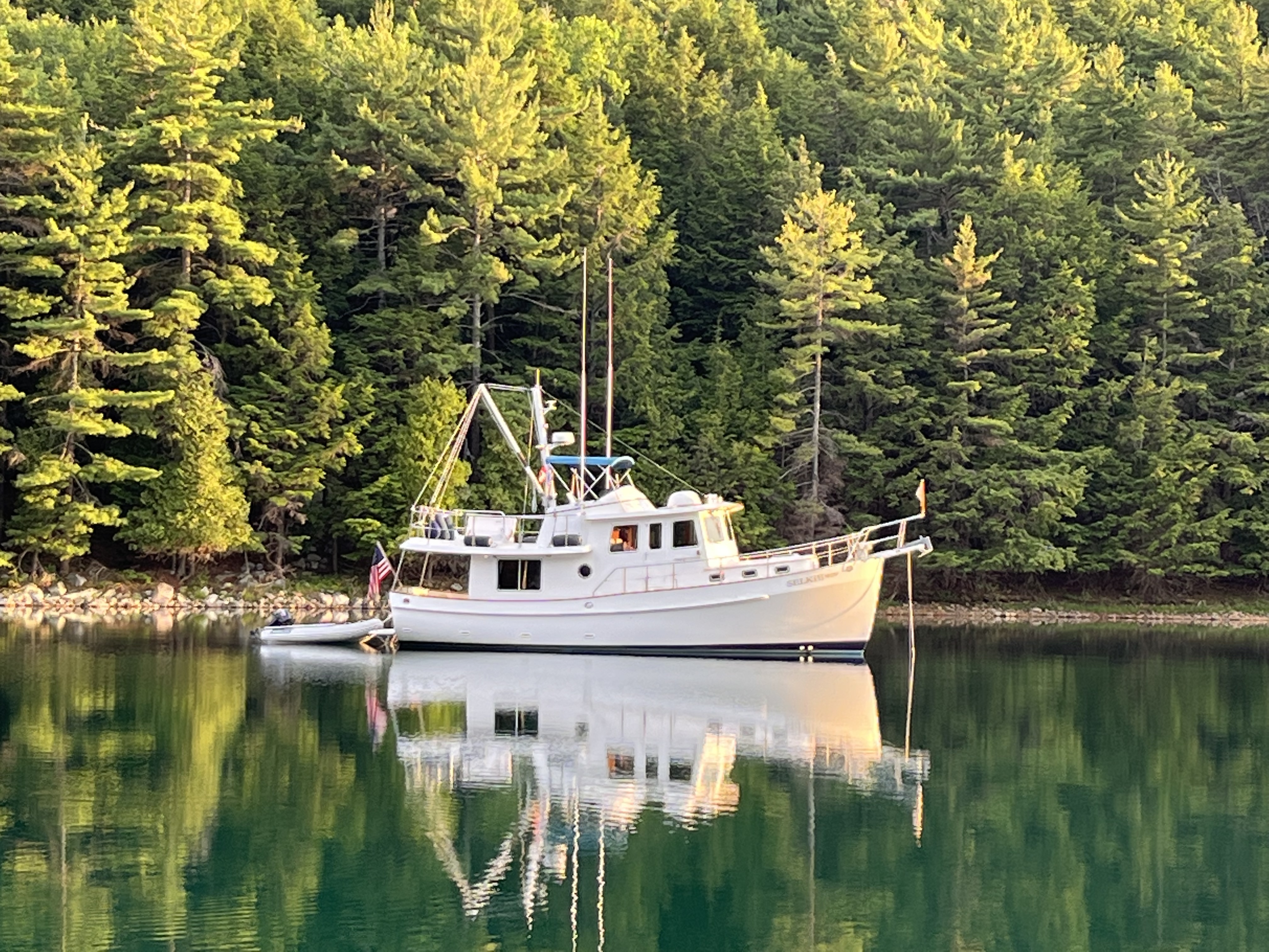
Selkie draws 4.5 feet, so there’s a good chance Selkie could run aground if she’s not in a navigation channel that close to the coast.
To move along the coast, Selkie has to sail out from the coast about an hour before turning along the coast to be safe.
This makes some of the bigger runs around the Big Bend up to 8 hours on the longer legs.
However, the time to safely navigate the coast is worth it.
You have to watch the weather.
I’ve spoken before of seiches, which are long waves of water pushing above the natural rim of a body of water.
Essentially, the wind floods water inland in shallow areas.
Seiches typically happen in larger. fresh water lakes.
The ocean has a similar effect called a tidal surge.
It is particularly pronounced around the western Florida coast of the Gulf of Mexico.
If the winds blow from the west, the water gets pushed in.
When the wind blows from the east, the water gets pushed out.
When there is any strength behind the wind, it can change the water level of the Gulf a couple feet.
That means with an east wind that a 7’ deep channel could suddenly only be 5’…or less… which makes the situation pretty tenuous for Selkie.
There are several towns along the Big Bend that we stopped at: Apalachicola, Carrabelle, Steinhatchee, Cedar Key and Crystal River. All have good marina services except Cedar Key, which only has anchorages.

All of the towns have mostly recovered from Hurricane Idalia, which made landfall in the area on August 30, 2023 only 4 short months ago as a Category 3 Hurricane. The towns’ marinas have good facilities for docking. Some homes and businesses are still showing the effects of Idalia.
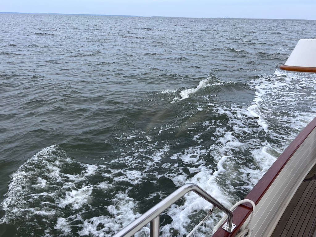
When traveling across open water, our go-no go criteria is forecasts calling for winds 15 or less, and seas 1’ or less. We will think about 2’ if we are pressed for time.
Our stabilizers, which are hydraulically operated fins to counteract the waves we experience, help with any beam sea issues, but we only activate the stabilizers about 50% of the time when on open water.
In all cases doing the Loop, we were able to go in comfortable conditions, albeit the crossing from Carrabelle to Steinhatchee was a little bumpy in the morning.
Selkie left at daybreak and crossed to Steinhatchee from Carabelle, arriving about 4:30.
The National Weather Service (NWS) put up a small craft advisory further out on the Gulf beyond us that we did not see. The winds further out generated some bigger waves. We didn’t realize this until we were underway. All was good regardless. It’s for reasons like that why we have our go-no go decision points.
Three boats went with us.
Our speed fluctuated a little with the tide, but averaged around 7.5 knots.
Winds started at 12-15 from the northwest, wind waves were around a foot from the north outside past Dog Island (where we anchored) and there is a 1-2 foot swell from the southwest.
By noon the winds were less than 5 knots.
The seas were a little bumpy (maybe 1-2 feet) from the morning north wind, with a 1 foot swell at 5 seconds from the southwest.
By 2 pm, it was calm with small wind waves and the small swell continuing.
As we neared the coast in shallower waters the swell picked up a little as is expected but the wind waves turned to ripples. Otherwise it was a very uneventful passage to Steinhatchee… just the way we like it!
Steinhatchee (pronounced Steenhatchee) was a good stop.
Both Sea Hag Marina and the Steinhatchee Marina at Deadman’s Bay have rebuilt their docks and are open for business with full power and water. Both have pump out and fuel.
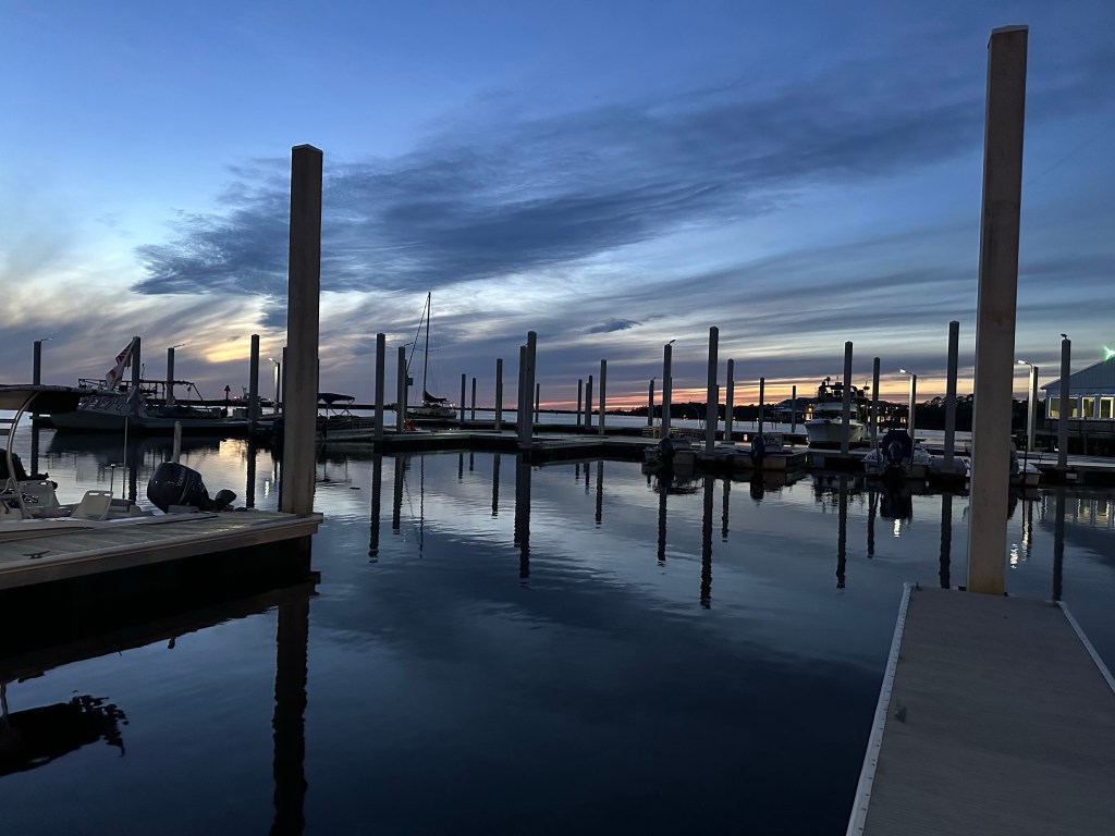
We saw a sign at See Hag advertising diesel at $3.79 a gallon, which was a very attractive price, but we did not stop to verify as we had just topped off in Carrabelle. We stopped at the marina at Deadman’s Bay for 2 nights while it blew outside.
We enjoyed the bar, and biked over to Kathy’s Krab for a good dinner.
Roy’s is a popular establishment for restaurant / bar service but it’s still being renovated after the hurricane and may be open late January.
Our passage to Cedar Key was a long one. We draw 4.5’ and decided to go to the end of Seahorse Shoal.
All other boats went inside of us, and made it without incident, including those going through the dreaded Western Entrance.
We could have saved an hour or more, but when it comes to running aground off shore, call me a big chicken.
I don’t like Selkie touching bottom.
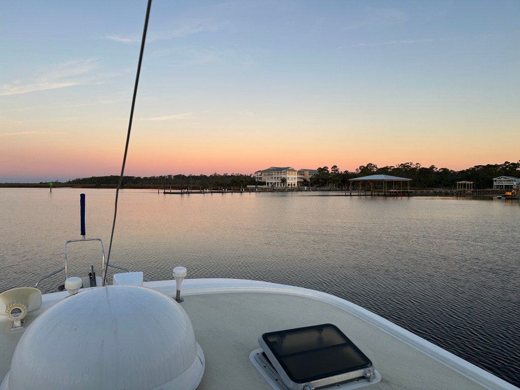
Our stop at Cedar Key was pretty magical at sunset.
We dinghied over to have a great dinner at Steamers.
Our run to Crystal River was uneventful, despite numerous crab pots along the way.
It was a little tense as we entered the channel but uneventful. The channel by Shell Island is shallow.
We saw 6.5’ at 1’+ tide.
Others have advised, “Favor the green”, which means favor the left side of the channel heading upstream as that’s the deeper water in that stretch of channel.
Otherwise it was not too bad the rest of the way in.
Once we anchored at Kings Bay at the end of Crystal River, we finally felt like we were in the Florida we had been expecting, with palm trees, mangroves, manatees and lots of wildlife.
We liked Crystal River enough to change our plans and store Selkie over the holidays at Pete’s Pier. Getting to Clearwater with the long term weather forecast did not look good at all, and as we sit at our dock here, high winds have persisted the past two week, so our call has been a good one.
My next post will be about our experiences in Crystal River, particularly swimming with the manatees.
